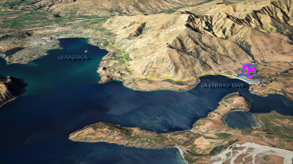
Method Visual has the tools and expertise to produce engaging 3D aerial maps and real world terrain-based infographics, ideal for effectively communicating the location and alignment of infrastructure and transport networks, remote site locations, large-scale land management proposals, and geographic data.